Since mid-90s, I always had a GPS. I used it mostly for hunting, but also on my quad and snowmobile rides. I saved my routes and exchanged them with friends. Since 4 or 5 years however, I used it very rarely because I did not have any data on snowmobile trails.
I also used applications for smart phones such as iSnowmobile, but it required that I took my phone out of my jacket each time I wanted to use it. Furthermore, I do not like to put my phone in cold and bad weather conditions…
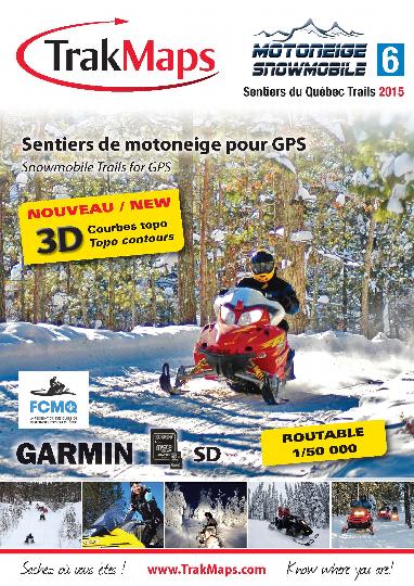
So this season I have decided to switch my GPS for a Montana 650 and to install TrakMaps product. In this first article, I am going to present my first impressions after using it on my latest rides.

Firstly, I must say, even if it may seem out of context, that the Garmin Montana 650 GPS is much more suitable for usage on snowmobile than the old Garmin 60CS was. The screen, the quick location when you turn it on, the precision are all elements that put Montana far ahead. So, if you do not own a GPS and you would like to get one, take time to shop in order to choose the right one for your needs. Personally, the most important features I was looking for on a GPS were a screen large enough to consult when I am riding and a microSD card slot.
Let’s go back to TrakMaps. Trail maps are available in two formats, on DVD or on microSD card. I prefer the second one.
After opening the box containing the TrakMaps, I put the microSD card directly in my GPS and I turned it on. Bingo! Trail map appears right away without any other configuration.

What is nice about TrakMaps is that along with the trails layer, we see a topographic map with contour lines, roads, rivers, lakes, etc. We can get our location very quickly and see that we are riding along a lake, for example.

Beside the trails, we can see the roads, lakes, rivers, etc…
Before I left on my first ride with the GPS, I installed a support on my snowmobile handlebar in such a way that I can look at the screen very easily. In fact, when I am piloting, I just have to lower my eyes slightly to consult it. Until now, I only use the GPS to navigate on trails. This way, I can see upcoming turns, intersections, etc. I save the itineraries in the GPS because I did not connect it to my computer yet. The use of the GPS with a computer, the preparation of an itinerary and its transfer to my Montana will be the subjects of my second article.
When I used TrakMaps, I found that the level of data on the map was very appropriate. Trails are correctly identified and the precision of the data is very good. This said, we must understand that trails route may have changed following the loss of right of passage, for example. Data in a GPS, whether on snowmobile, quad or car, must be considered as a support to navigation, not as absolute reference. Thus sometimes, you must ignore what you see on the screen and trust only the signage and/or your instinct and logic.

Finally, I would like to thank TrakMaps for their partnership in this test. For more details on TrakMaps Snowmobile, please click here
You are invited to read the second part of this test to be published during the next weeks on the magazine Motoneiges.ca.