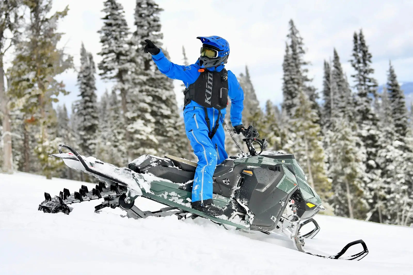
General Information:
There’s so much to explore and discover on a skidoo, a one-day ride won’t be nearly enough! The region boasts more than 2,280 kilometres of carefully groomed trails winding among mountains, valleys, hills, woods and lakes. Between these destinations several cozy inns, good restaurants and other attractions unique to our region await. No dress code there; they'll let you in in your full snowmobiling outfit. Get on your skidoo and browse over 2,286 km of pure pleasure!
Practical Information:
- Regional network:
7 clubs (2,269 Km of trails) - Principaux sentiers:
43 from Duhamel to Fort Coulonges
13 at Quyon
63 at Maniwaki
315 at Gatineau
323 at Buckingam
311 at Sand-Bay - Accommodation accessible from the trail:
700 rooms - Snow conditions:
From mid-December until mid-March
Location:
Immediately north of Ottawa, served principally by Highway 50 and Highways 105, 148 and 323 to Quebec City and Highway 417 in Ontario . It is possible to access the trail network from the Gatineau, a few kilometres from Ottawa/Hull.
Principal cities: Aylmer – Ottawa – Gatineau – Maniwaki – Wakefield – Montebello – Shawville – Fort-Coulonge
Attractions:
- Duhamel deer yard (trail 43)
- Lake Baskatong (trail 322)
- Chateau Montebello (trail 323)
- Laflèche caves (trail 43)
- Coulonge river canyon (trail 43)
- Fort-Coulonge roofed bridge (trail 43)
From the region:
- Laurentians to the Northeast (trails 43 and 63)
- Abitibi-Témiscamingue (trail 63)
- Ontario (trail 43 towards Pembroke)


 Excellente
 Ouvert
 Très bonne
 Partiellement ouvert
 Bonne
Bonne Fermé
Fermé Moyenne
 Information non-disponible
 Mauvaise
 Aucune observation


