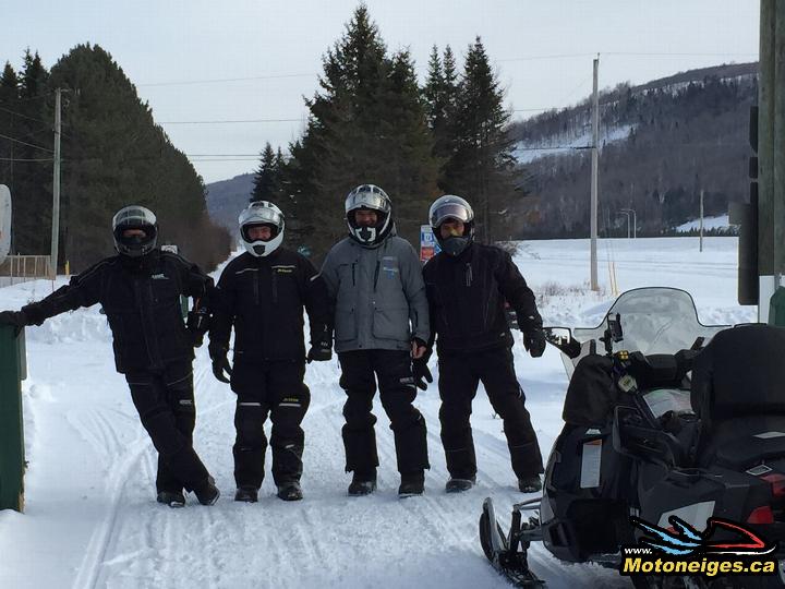
At the beginning of the 2014-2015 season, the New Brunswick Federation of Snowmobile Clubs (NBFSC) invited the SledMagazine.com members to come and discover their trails. From February 24-27th, a team of 4 collaborators rode about 850 km to explore the northern part of the province, mostly zones 1 and 2 on the provincial map. Personally, it was my second visit to this part of New Brunswick also known as the “Northern Odyssey”. In this article, I’ll be covering our first two day of our journey.
 |
 |
New Brunswick has a population of about 750,000 people. The trail network runs over 7 600 km and is maintained by volunteers from the 52 clubs members of the NBFSC. You will find on their website www.nbfsc.com all the information needed to plan your adventure on their trails. In addition to the provincial map trail which now includes the 5 zones, the TrakMaps company also offers a snowmobile trail map for your GPS. Finally, an interactive map named “isnowtrailnb” is available for your smartphone. It works everywhere using only the GPS system, even without any cellular or Wi-Fi signal, and is very accurate.
 |
 |
We entered the New Brunswick network via the north-western part of the province. FCMQ trail #85 from Rivière-du-Loup to the border becomes NBFSC #12 up to Saint-Jacques / Edmundston. Intersections are usually very well signalled in New Brunswick, as you can see on the above picture. We continued our ride to the Grand Sault/Grand Falls Quality Inn through the cities of Saint-Basile and Saint-Léonard using trail #12 again. For this first day of our journey, we had the chance to be guided by our good friend and collaborator Yves Cormier, who, by the way, also helped us plan this 4-day tour.
 |
 |
For our second day of riding, the plan is to reach the city of Bathurst located on the east coast of the province. We’re planning to use trails #23 and #19 and we expect to be riding for about 325 km. The first 30 km of riding on trail #23 finds us on a narrow trail, partly across fields, partly through forest, with very few indications and no grooming for some time. Fortunately, trail #23 quickly improves and is looking more and more like a highway. Going through the small rural community of Riley Brook will be our last chance today to fill up using regular underground tanks, all the other gas supplies to Bathurst will be above-ground tanks only at snowmobile clubhouses.
 |
 |
After a short detour to Serpentine Lake for a quick fuel stop, we eventually arrive at Governor’s Lodge just in time for lunch. From this place which is also known as the “Popple Depot”, starts the portion of trail #23 called “Piston Alley”. This section of trail is well known for damage it causes to snowmobile’s engines. Being groomed over 4 times the normal width of a regular trail and being a long flat stretch for more than 10 km, Piston Alley may effectively encourage some snowmobilers to ride a little faster than usual… We then reach Nepisiguit Falls and fill up for the last time, under very heavy snowfall, in order to cover the last kilometers to Bathurst on trail #19 and reach the Atlantic Host Hotel. I will be talking a little more about this place in my next article.
 |
 |
All along our 4-day tour, we discovered that New Brunswick is a very friendly place for snowmobilers coming from Quebec. Most residents are bilingual, especially in the north-western part of the province. Snowmobilers always feel welcomed and appreciated everywhere. There is no speed limit on trails, we are only asked to ride safely. Finally, a large part of the trail system is built on old logging roads that are now available during the winter season for us to enjoy. My next article will cover day three and four of our journey into New Brunswick.
 |
 |


