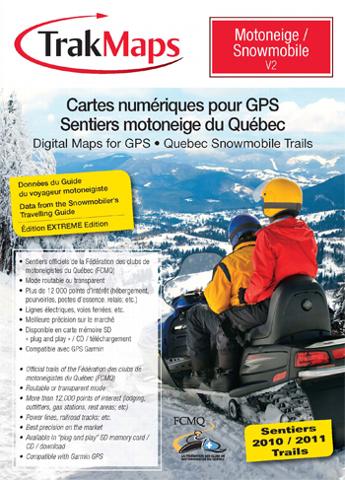
TrakMaps is pleased to announce the new « Snowmobile V2 » for snowmobile trails in Québec. Compatible with Garmin GPS units, this digital map is the only one to contain the official trails of the Québec Federation of Snowmobile Clubs (“FCMQ”). Each year, TrakMaps receives exclusively the official snowmobile trails data from the FCMQ and incorporates it in a new, revised edition.

TrakMaps offers 2 modes of use of the snowmobile trails map: a transparent mode that allows the user to superimpose the trails on a topographic or road map, and a routable mode that allows him/her to create an itinerary on the snowmobile trails. The trails appear in 4 colours. One can easily distinguish between provincial, regional, local or under development trails.
Several points of interest (“POI’s”) from the « Guide of the travelling snowmobiler » have been integrated into the trails to allow the snowmobiler to find lodging, restaurants, dealers and many more POI’s (rivers, highways, railroads, pylons and electric wires and provincial parks) that add value on the trails.
The snowmobile trails maps are available in 3 formats: CD, SD memory card (« Plug & Play ») and downloading. To view the trails on your PC, (CD or download version), you need MapSource from Garmin. TrakMaps products are available at more than 200 retailers in Québec.