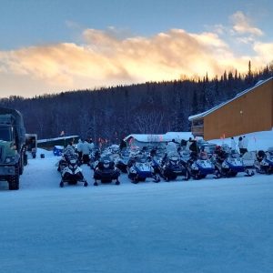
General Information:
On the North Shore the region is composed of the Laurentians and the Canadian Shield, a region of ancient mountains. The terrain is undulating and is crossed principally by the Saint-Maurice River Valley. On the South Shore, the topography is relatively flat, composed of the Saint-Lawrence River Valley before joining, further to the south, the foothills of the Appalachians. A majority of the trails go through mixed-growth forest on the North Shore and cross plains on the South Shore.
Practical Information:
- Regional network:
Mauricie : 7 clubs (1,962 km of trails)
Centre-du-Québec : 9 clubs (1,277 km of trails) - Main trails:
35 and 65 at Victoriaville
5 at Bécancour
3 at Louiseville
63 at Trois-Rivières
63 & 83 in Haute-Mauricie
350, 355 et 360 on the North Shore
525 andt 532 on the South Shore - Accommodation accessible from the trail:
2, 500 rooms - Snow conditions:
On the North Shore of the Saint-Lawrence; from mid-December (sometimes earlier in the La Tuque region) to the end of March in the La Tuque region
On the South Shore: from the end of December to the begining of March.
Location:
Midway between Montreal and Quebec City, on the North Shore of the Saint Lawrence River north of Trois-Rivières up to La Tuque and Gouin Reservoir, and in the region between Drummondville and Victoriaville on the South Shore of the Saint Lawrence. Principally served by Autoroutes 20, 40 and 55, and Highways 138, 155 and 132. It is possible to access the trail network at various points on the South Shore and the North Shore.
Principal cities: On the north shore (Mauricie) :Trois-Rivières – Louiseville – Shawinigan – Grand-Mère – La Tuque. On the south shore (Centre-du-Québec) :Victoriaville – Drummondville – Bécancour – Nicolet – Plessisville
Attractions:
- Channel fishing at Sainte-Anne-de-la-Pérade (trail 351)
- Mauricie National Park and Saint-Maurice wildlife reserves (no access by snowmobile)
- Mastigouche wildlife reserve (trails 23 and 360)
- The outfitters of Clova, Parent and La Tuque (trail 83)
- The Atikamekw Reserve of Wemotaci (trail 83)
- Gouin Reservoir (trail 83)
- Saint-Maurice river (local trail M19)
- River Bulstrode overpass (trail 65)
- Lake William view (regional trail acces via trail 25)
From the region:
On the North Shore :
- Lanaudière to the west (trails 3, 63, 23, 360, 350 and 349)
- Abitibi to the northwest (trail 83)
- Québec City/Charlevoix to the east (trails 3, 23, 302 and 353)
- Lac-Saint-Jean to the northeast (trail 73 and 355)
On the South Shore :
- Montérégie to the west (trail 5)
- Cantons-de-l'Est to the south (trails 45, 521 and 525)
- Chaudière-Appalaches to the east (trails 5, 35, 65, 531, 533 and 538)
 Excellente
 Ouvert
 Très bonne
 Partiellement ouvert
 Bonne
Bonne Fermé
Fermé Moyenne
 Information non-disponible
 Mauvaise
 Aucune observation